https://www.safariventures.com/wp-content/uploads/Web-Page-Cover.png
  • Africa
  • Tanzania Safari Map
  • Tanzania Islands Map
  • Serengeti Great Migration Map
  • Kenya Safari Map
  • Uganda and Rwanda Safari Map
  • Botswana Safari Map
  • Victoria Falls Map
  • Greater Kruger Safari Map
  • Cape Town and South Africa Map
  • Namibia Safari Map

Explore Africa With Our Safari Planning MapsNot Sure Where to Begin

Our Africa specialists can help you compare destinations, choose the right season and create a personalized itinerary around your interests, travel dates and budget.

Planning an African safari can feel overwhelming because every destination offers different wildlife, landscapes, seasons and travel connections. Our collection of African safari maps makes it easier to understand where the major national parks and reserves are located and how they can be combined into one well-planned journey.

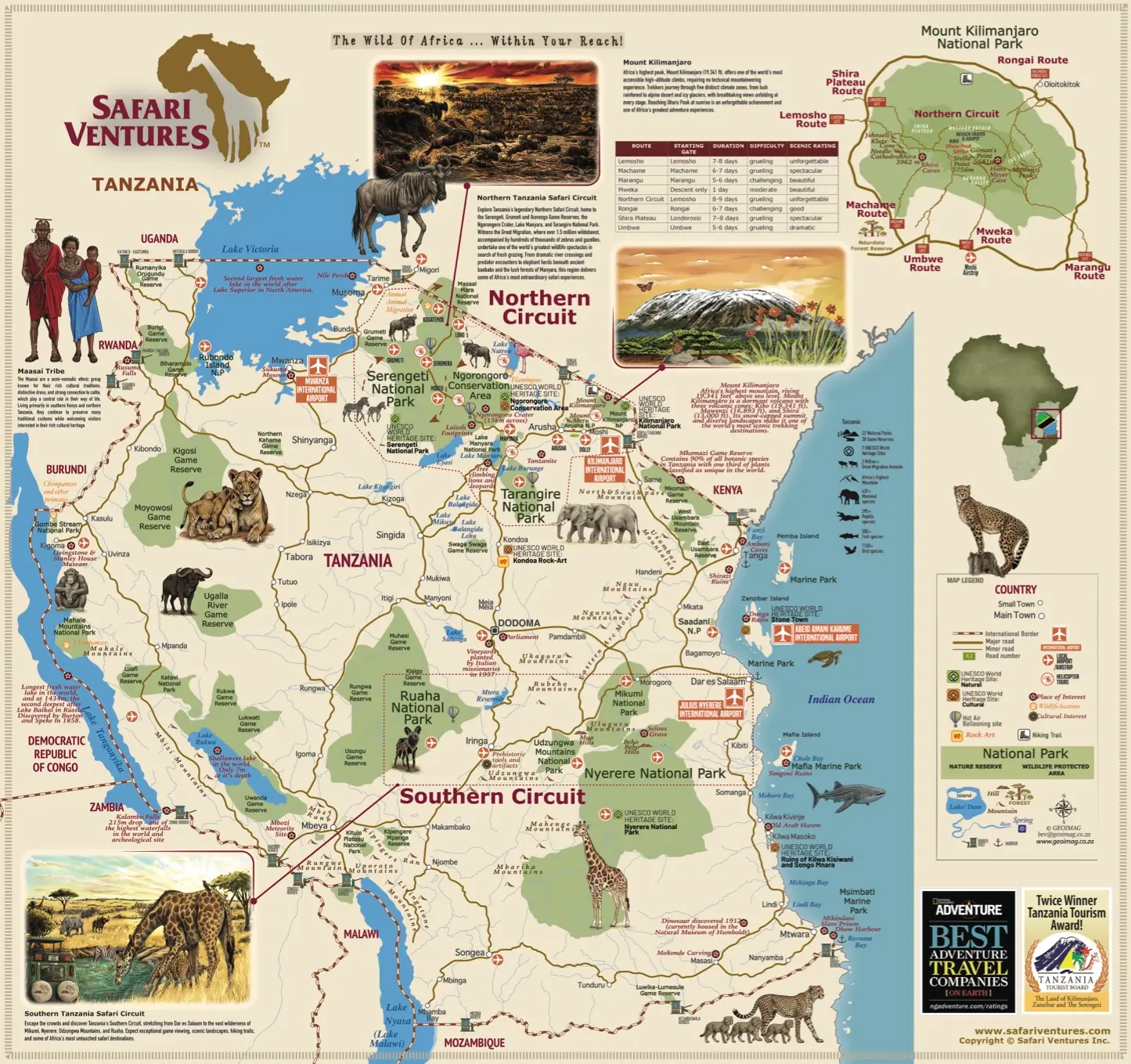
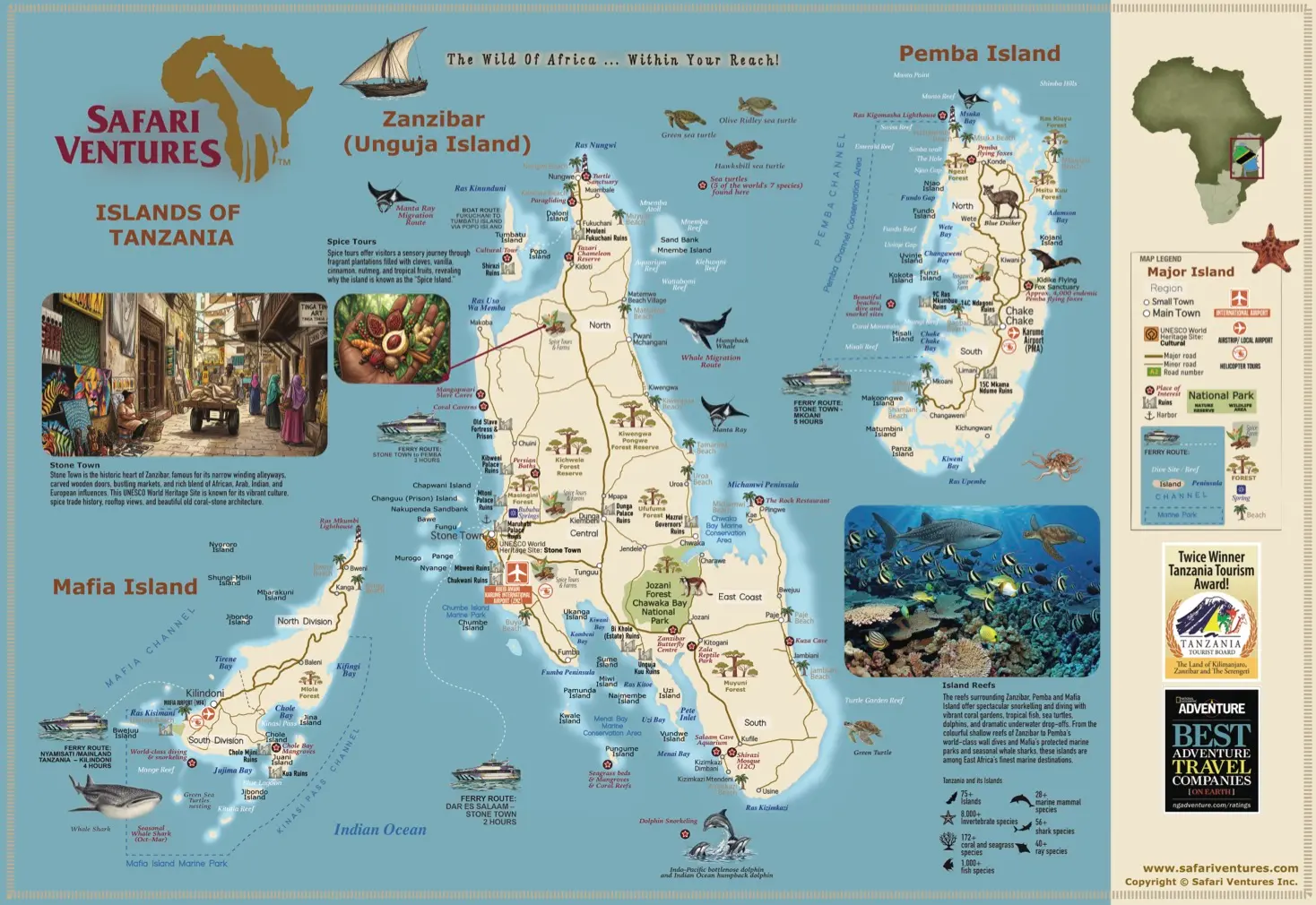
The Tanzania Safari Map introduces travelers to the renowned Northern Safari Circuit, including Serengeti National Park, Ngorongoro Crater, Tarangire and Lake Manyara, as well as the southern and western parks. Travelers considering a safari-and-beach holiday can also explore connections to Zanzibar, Pemba and Mafia Island.

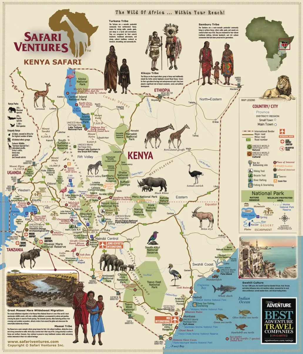
Our Kenya Safari Map highlights the Maasai Mara, Amboseli, Samburu, Laikipia and other celebrated wildlife areas. It also shows how Nairobi, Wilson Airport and regional airstrips connect with the country’s national parks, conservancies and Indian Ocean coast.

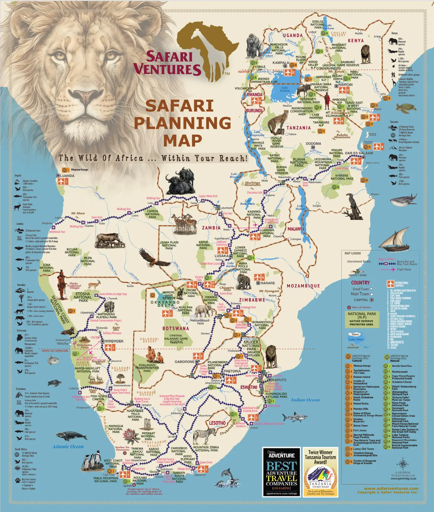
For travelers interested in Botswana, Namibia, South Africa and Victoria Falls, our Southern Africa travel maps provide a helpful overview of parks, reserves, cities and transportation links. Compare the waterways of the Okavango Delta, the wildlife of Chobe and Greater Kruger, Namibia’s desert landscapes, Victoria Falls and the attractions surrounding Cape Town.
 

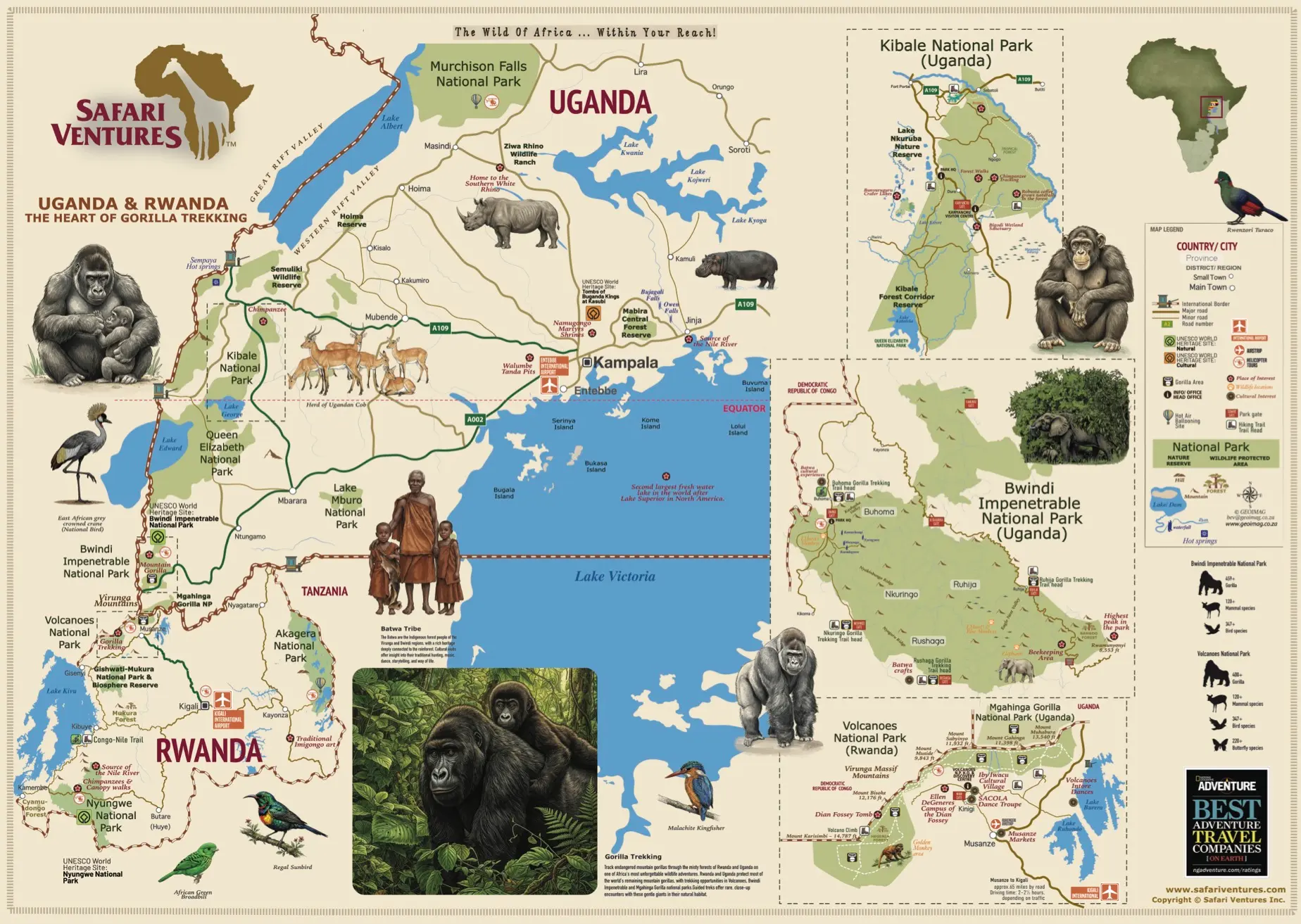
Our Uganda and Rwanda map focuses on mountain gorilla and chimpanzee trekking areas, national parks and regional connections. It is especially useful for travelers considering a primate adventure on its own or as an extension to a Kenya or Tanzania safari.

These maps are a practical starting point, but every journey should be customized around your travel dates, interests, preferred accommodations and budget. Safari Ventures can help you select the right wildlife regions, decide how many nights to spend in each location and create efficient connections between parks, airports and beach destinations.

Explore the maps, then contact our experienced Africa specialists to begin creating your personalized safari.

Tanzania Safari Map
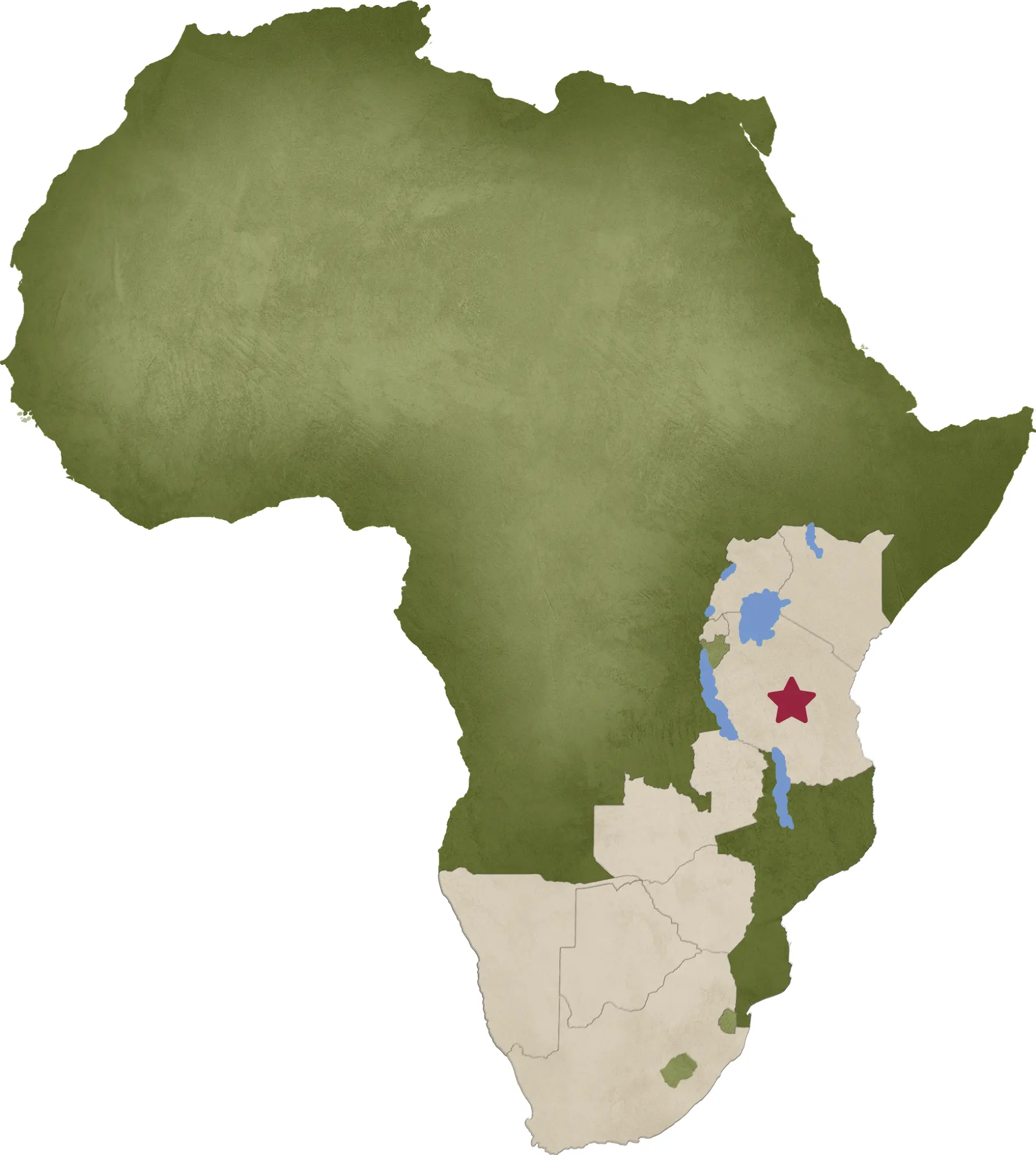
Explore Tanzania's renowned safari circuits, including Serengeti, Ngorongoro Crater, Tarangire, Nyerere, Ruaha and the western parks. See important wildlife regions, towns, airports, airstrips and connections for planning a seamless Tanzania safari.
https://www.safariventures.com/wp-content/uploads/tar.png
Tanzania Islands Map
Discover Zanzibar, Pemba and Mafia Island, including celebrated beaches, historic towns, marine parks, airports and ferry connections. Use the map to choose the perfect Indian Ocean extension before or after your Tanzania safari.
https://www.safariventures.com/wp-content/uploads/tar.png
Serengeti Great Migration Map
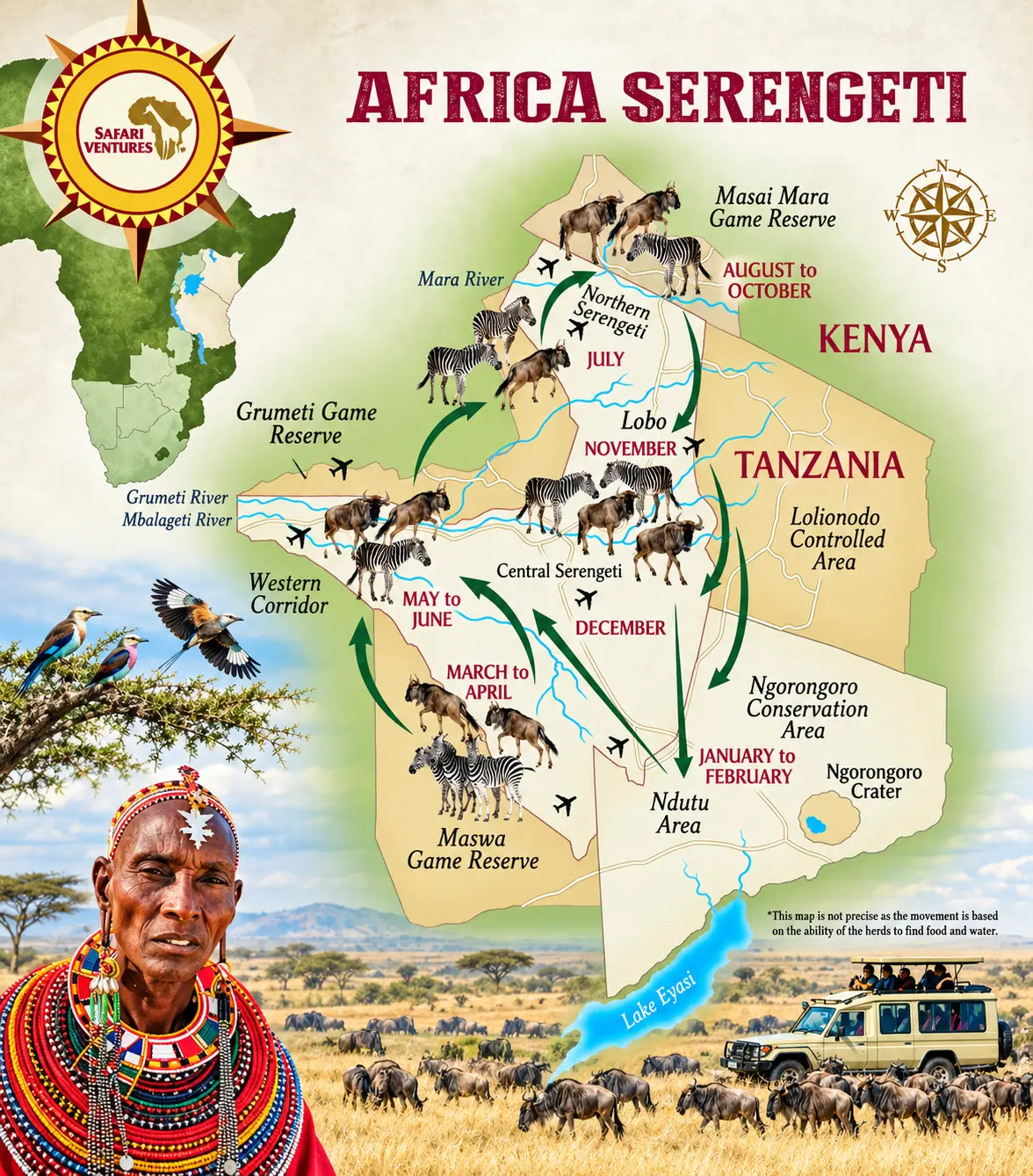
Follow the Great Migration through Tanzania’s Serengeti and Kenya’s Maasai Mara. This illustrated map shows the herds’ general movement through the southern plains, Western Corridor, and northern Serengeti across the year. Their route and timing change with rainfall and grazing, so use the map as a planning guide rather than a fixed calendar.
https://www.safariventures.com/wp-content/uploads/Serengeti-Migration.png
Kenya Safari Map
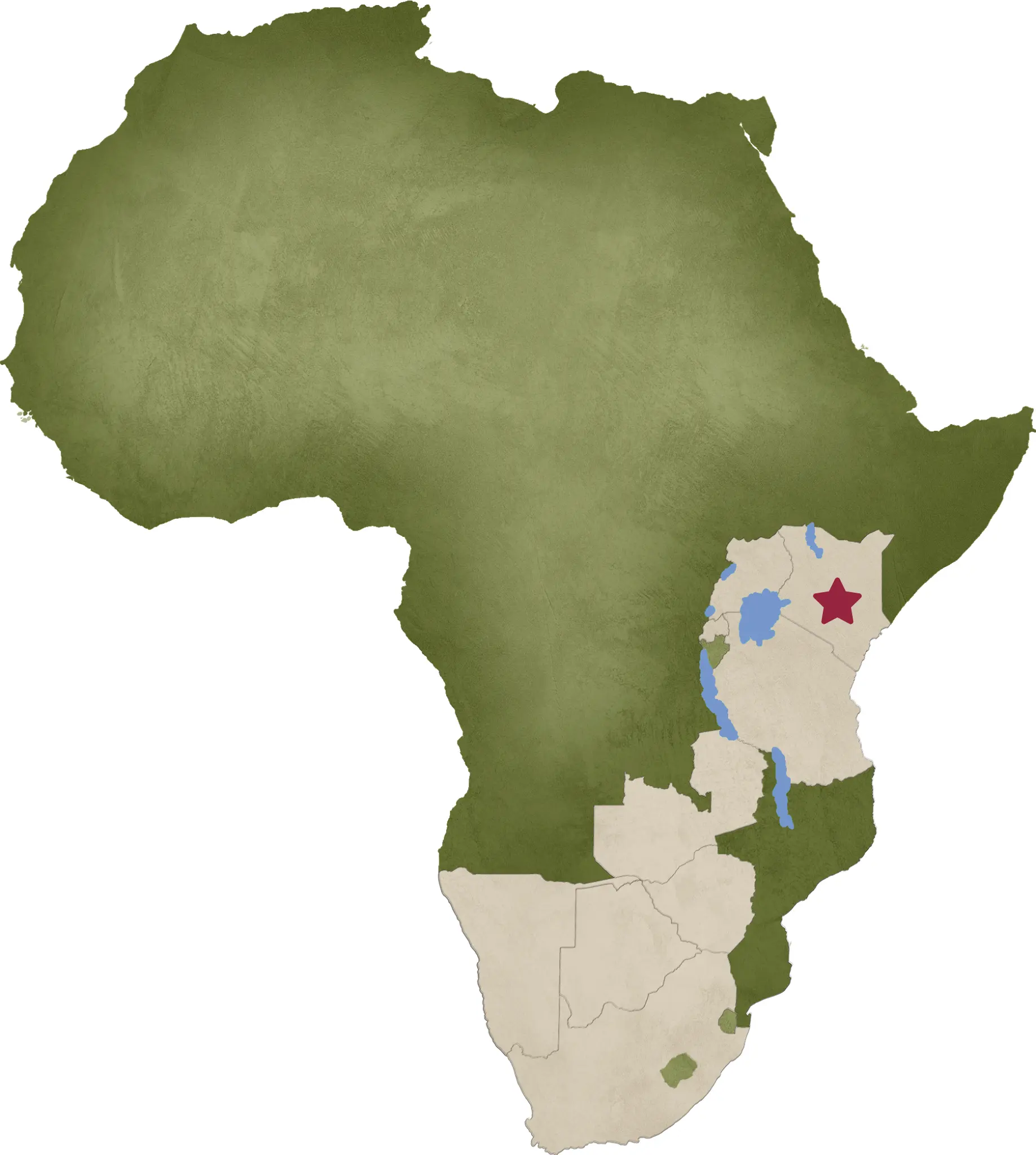
Explore the Maasai Mara, Amboseli, Samburu, Laikipia, Tsavo and Kenya's Indian Ocean coast. The map highlights national parks, conservancies, cities, airstrips and travel routes to help you compare Kenya's principal safari regions.
https://www.safariventures.com/wp-content/uploads/Kenya.png
Uganda and Rwanda Safari Map
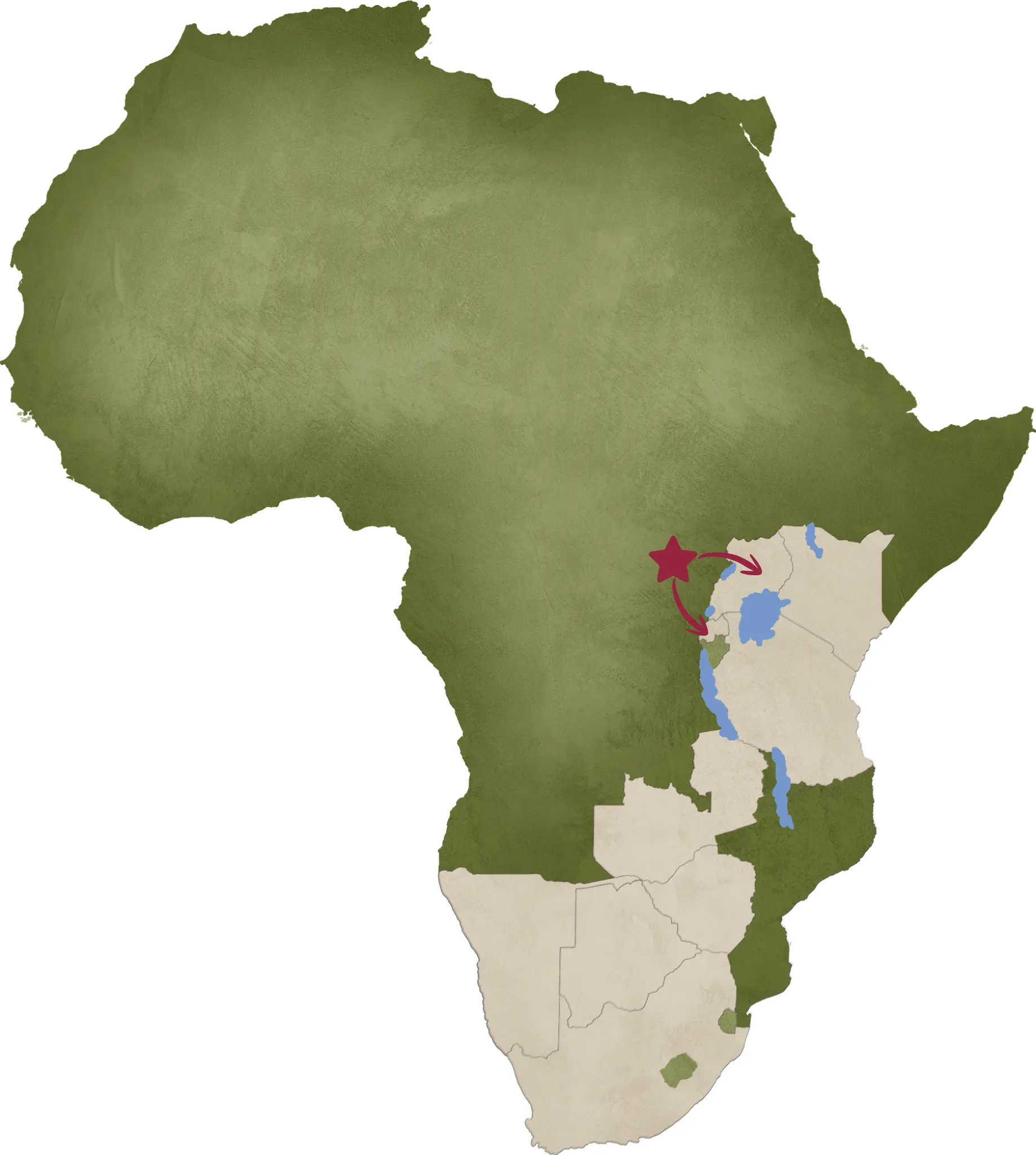
Discover the forests, mountains and national parks of Uganda and Rwanda. Locate the principal gorilla and chimpanzee trekking areas, wildlife reserves, lakes, towns, airports and regional connections for an unforgettable primate adventure.
https://www.safariventures.com/wp-content/uploads/Rwanda-and-Uganda.png
Botswana Safari Map
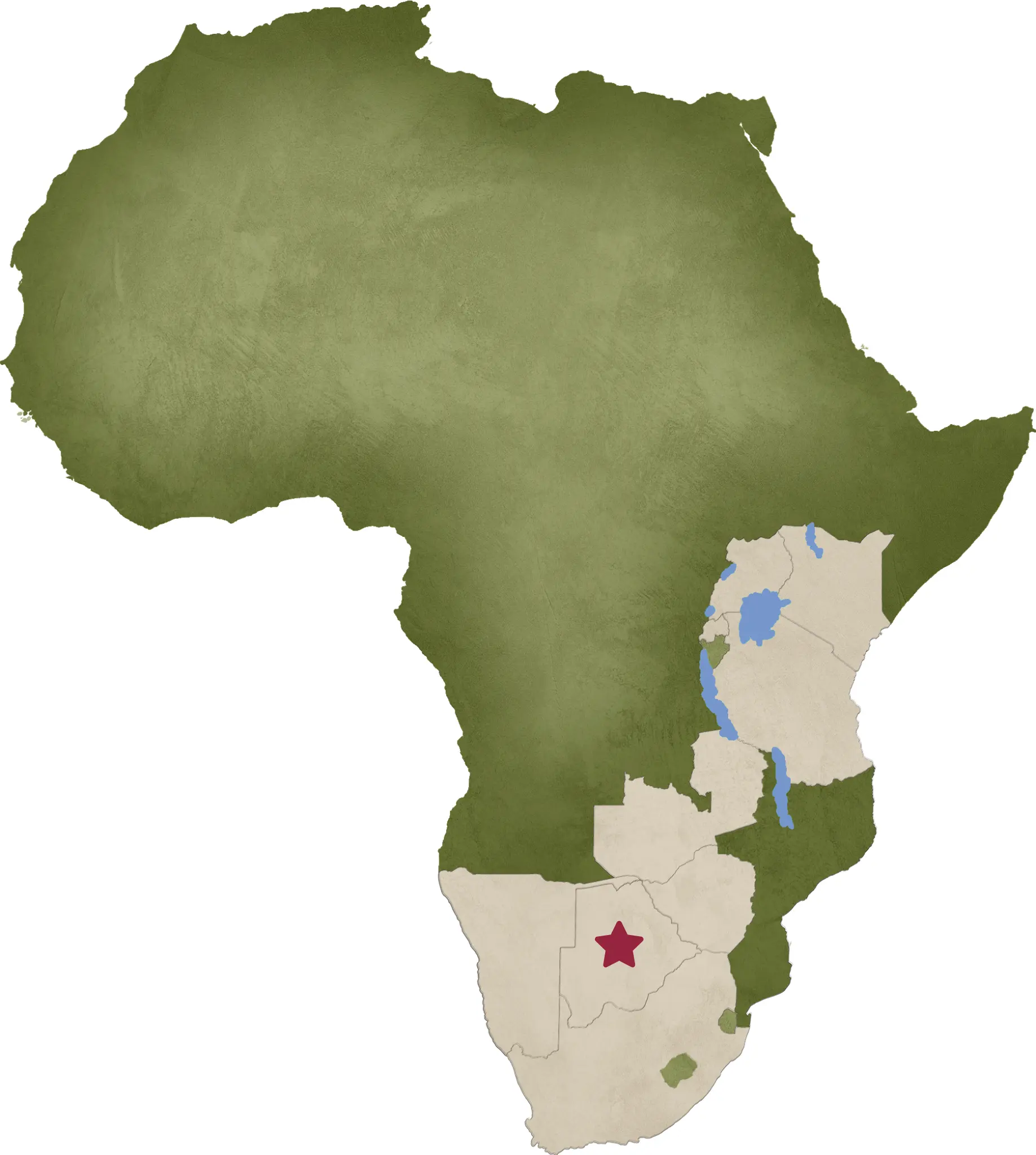
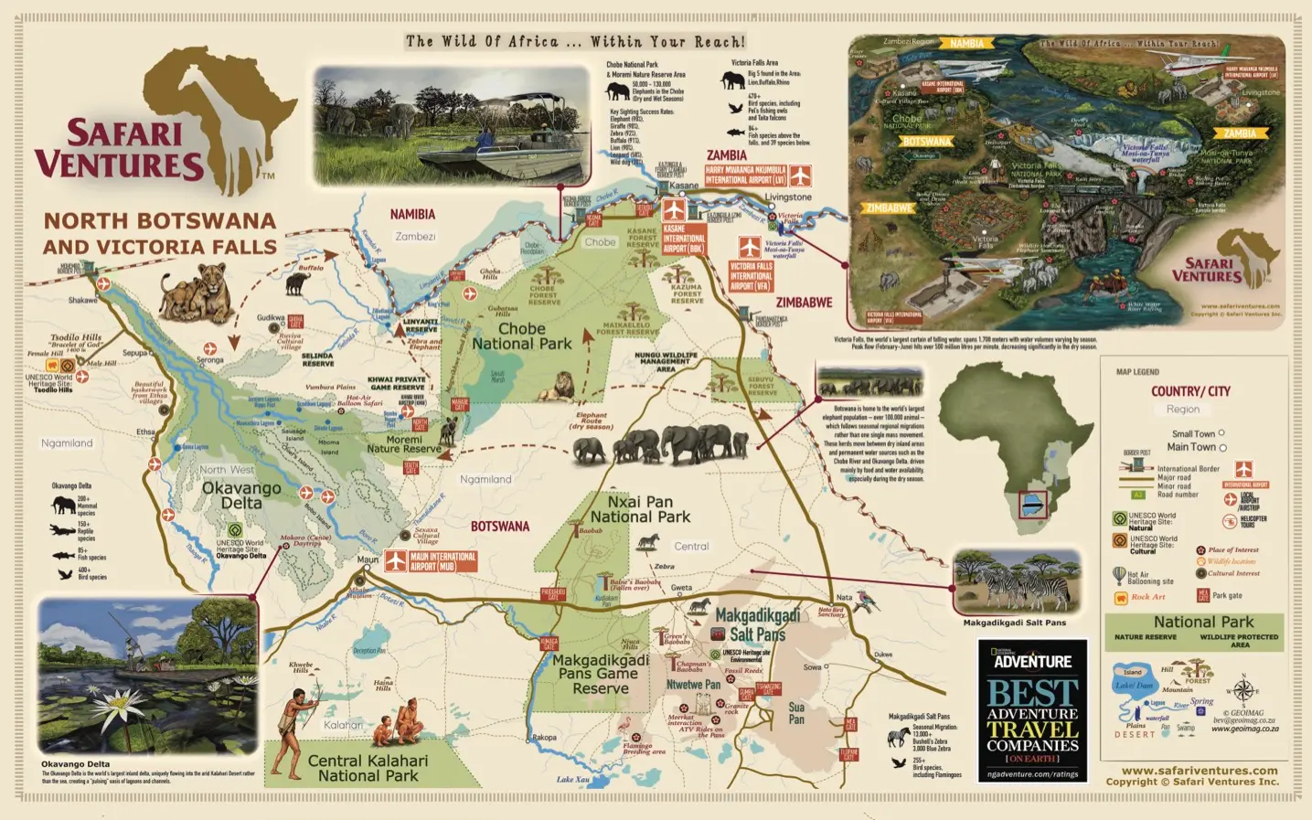
Explore the Okavango Delta, Moremi, Chobe, Savuti, Linyanti, Makgadikgadi Pans and the Central Kalahari. See camps, airstrips and travel connections that make it easier to plan a fly-in or overland Botswana safari.
https://www.safariventures.com/wp-content/uploads/Botswana.png
Victoria Falls Map
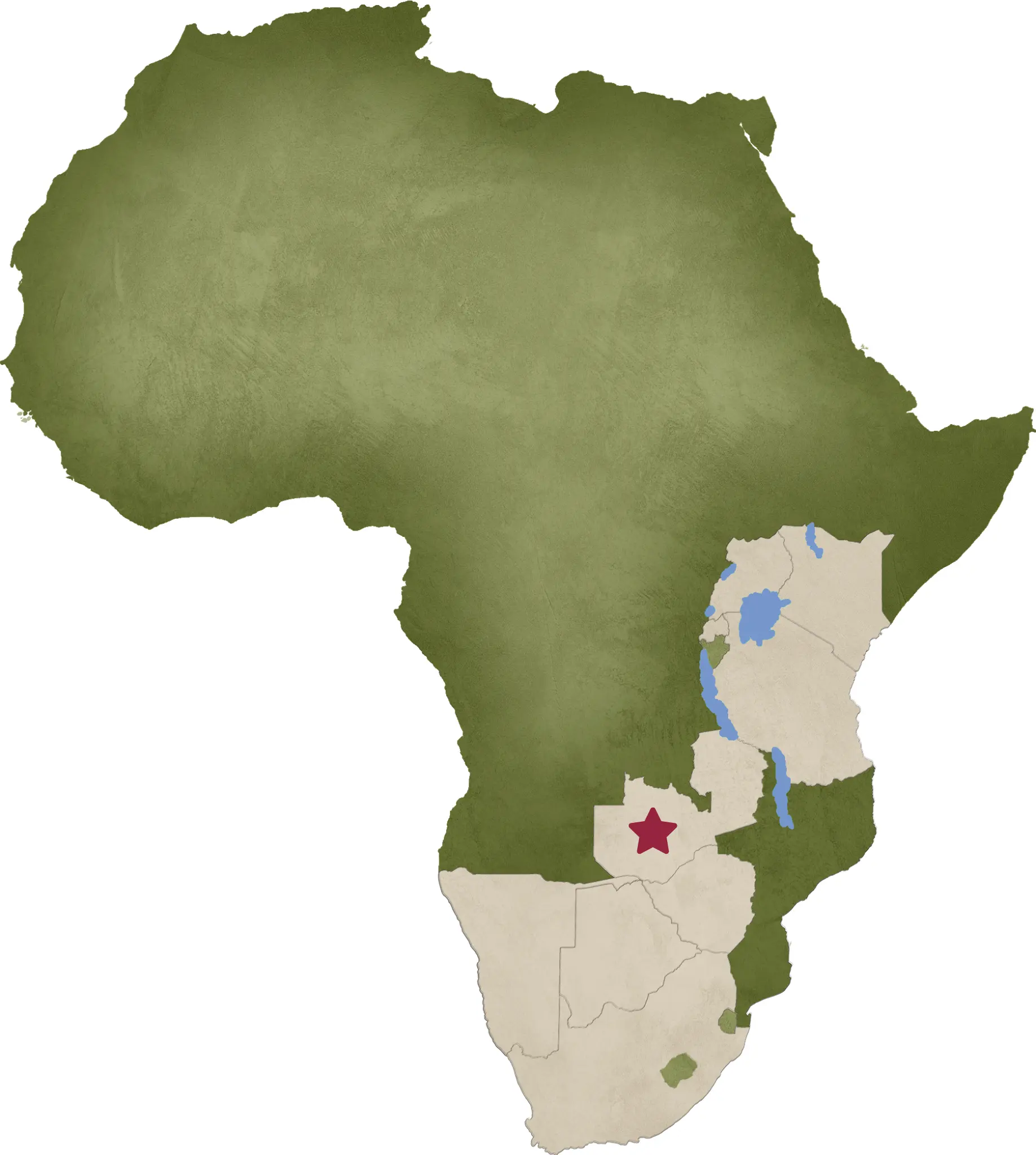
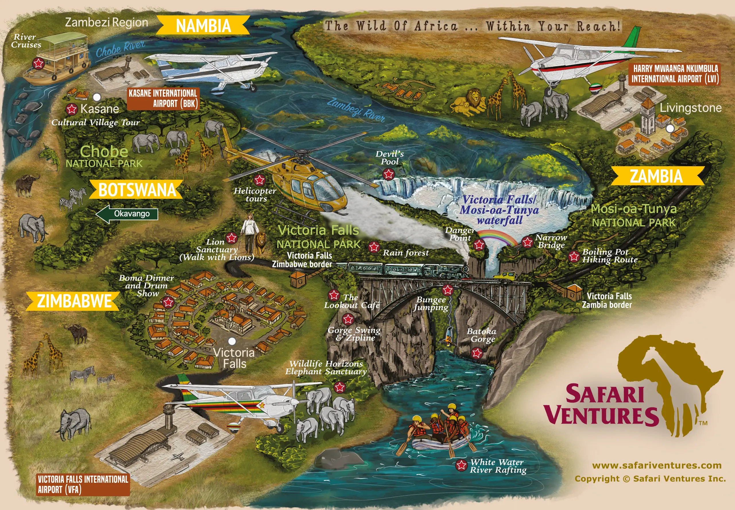
Discover Victoria Falls and the surrounding region, including Livingstone, the Zambezi River, Zambezi National Park and nearby safari connections to Chobe and Hwange. Use the map to plan activities, transfers and a memorable regional extension.
https://www.safariventures.com/wp-content/uploads/Zambia.png
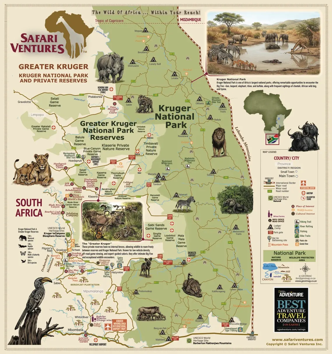
Greater Kruger Safari Map
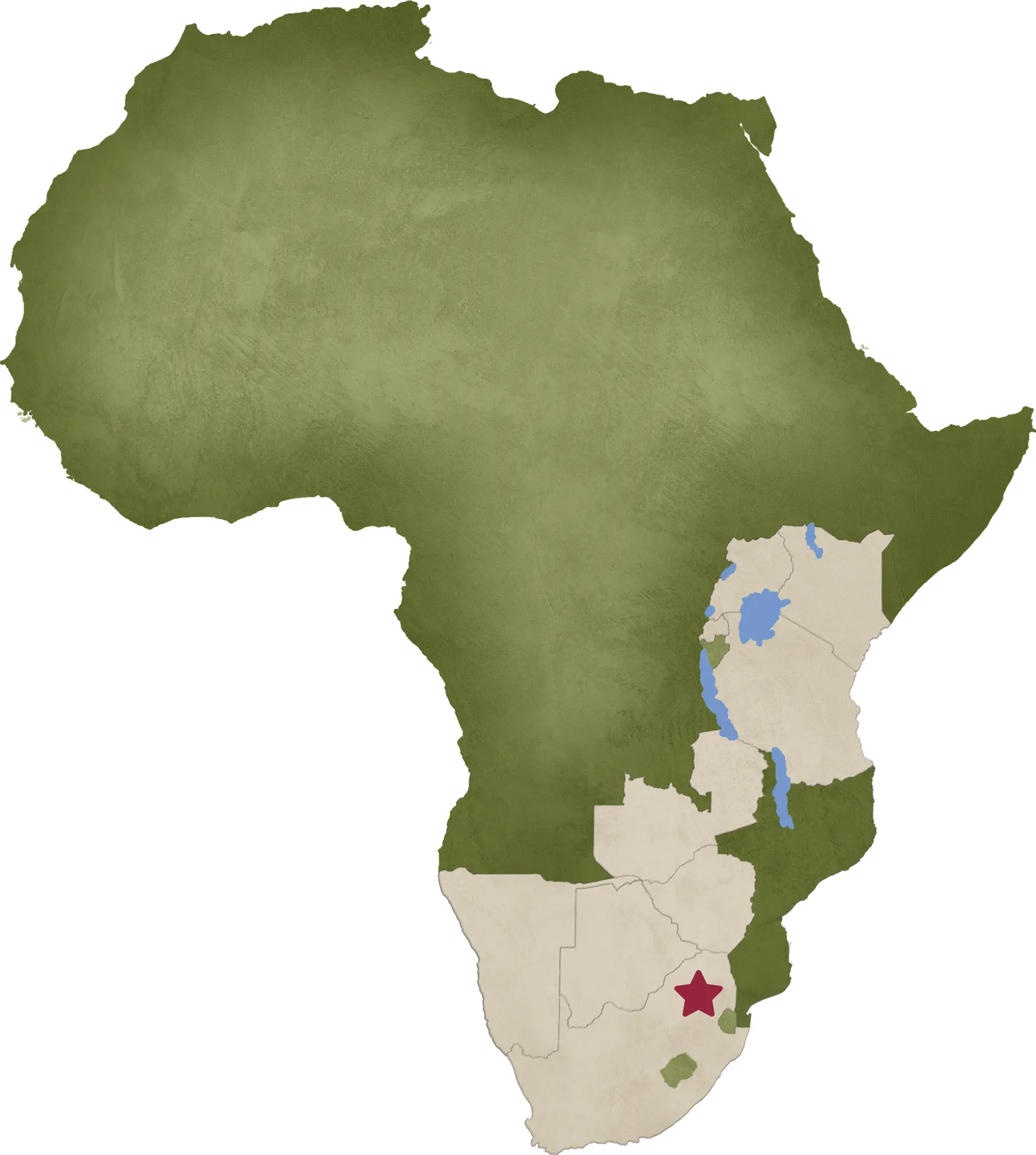
Explore Kruger National Park and the surrounding Sabi Sand, Timbavati, Klaserie, Balule and Manyeleti reserves. The map highlights key wildlife regions, safari gateways, airports and road connections across the Greater Kruger area.
https://www.safariventures.com/wp-content/uploads/Kruger-National-Park.png
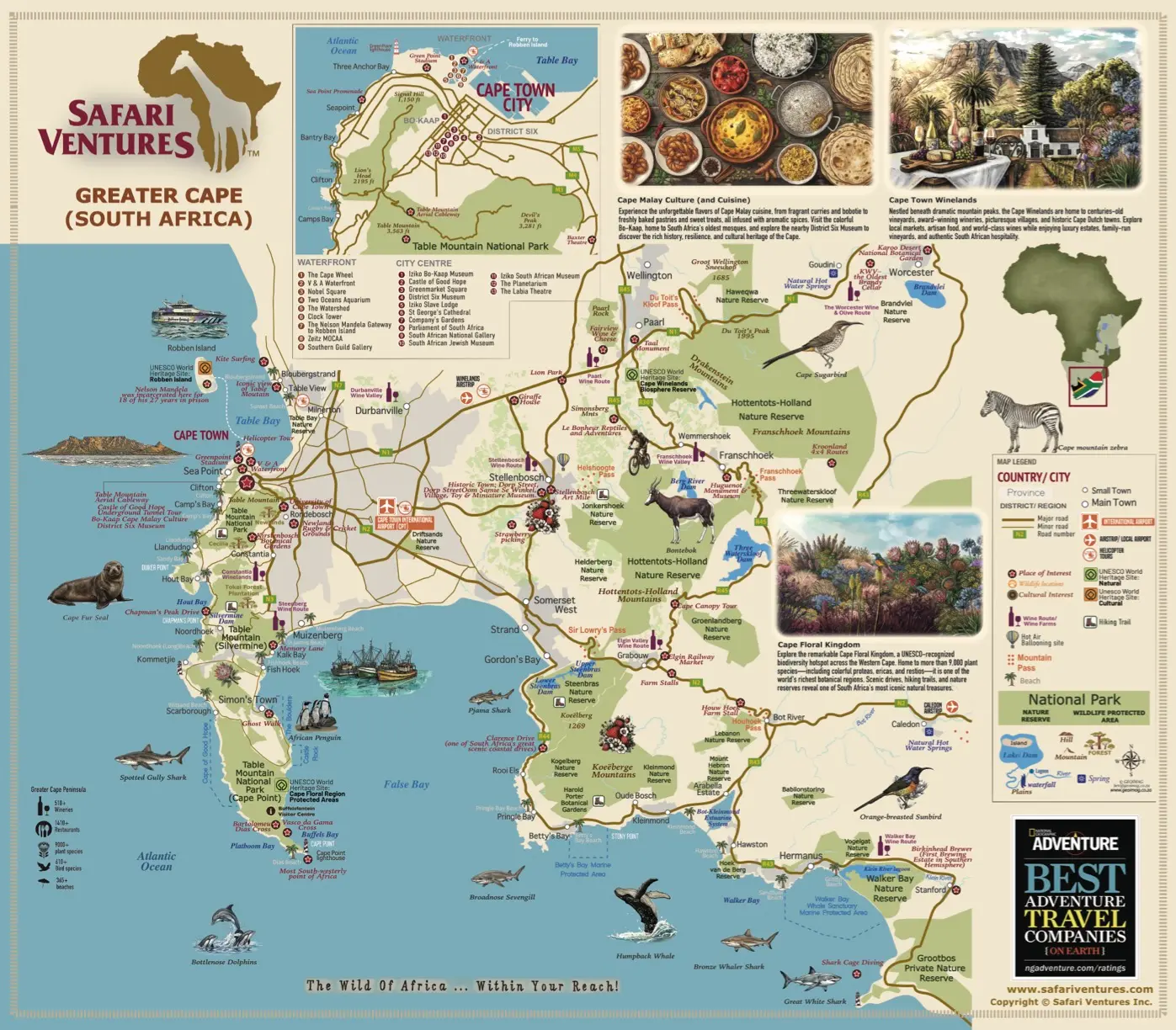
Cape Town and South Africa Map
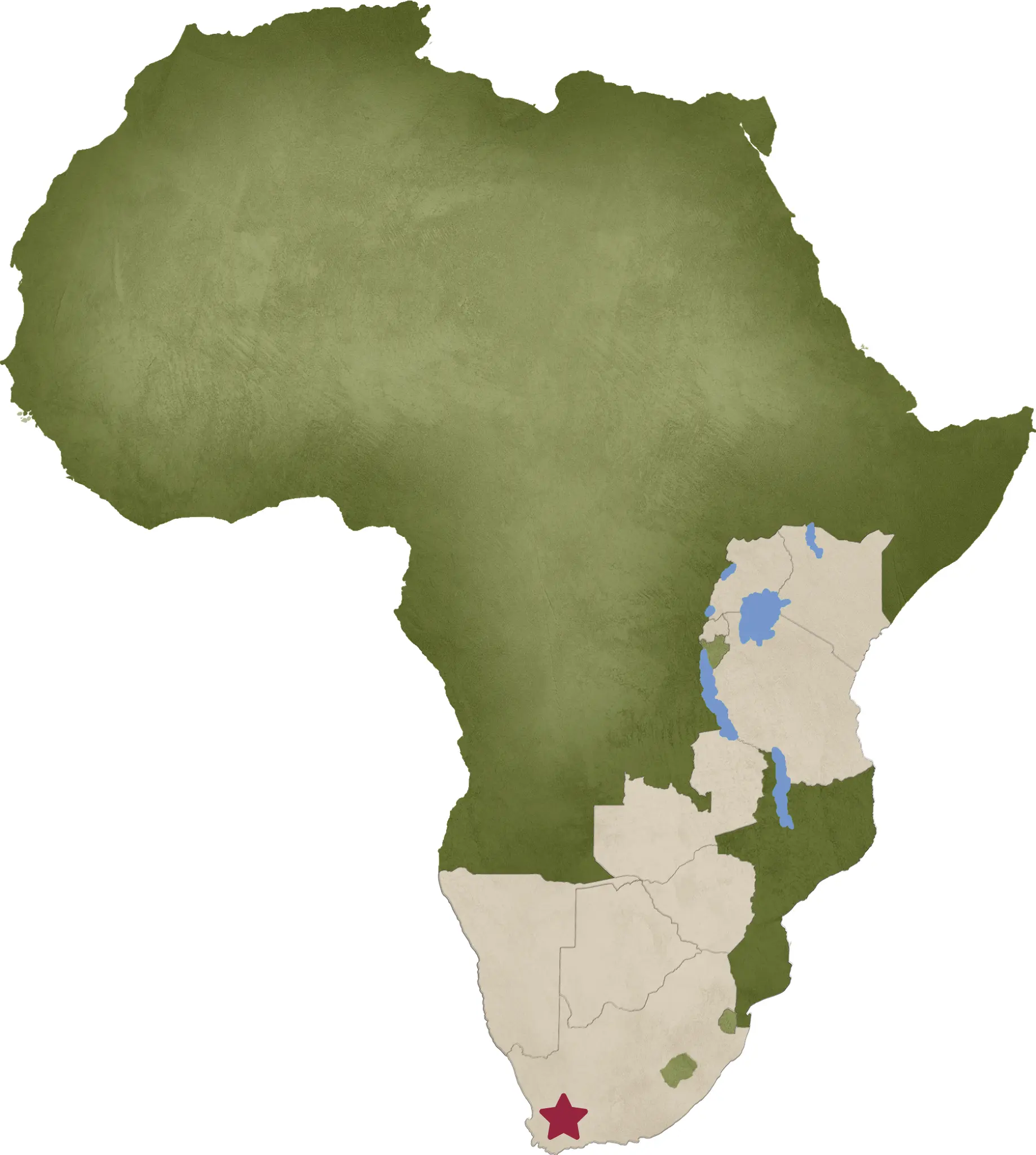
Discover Cape Town, the Cape Peninsula, Winelands, Hermanus, the Overberg and Garden Route. Use the map to explore scenic routes, important towns and natural attractions that combine beautifully with a South African safari.
https://www.safariventures.com/wp-content/uploads/Cape-Town.png
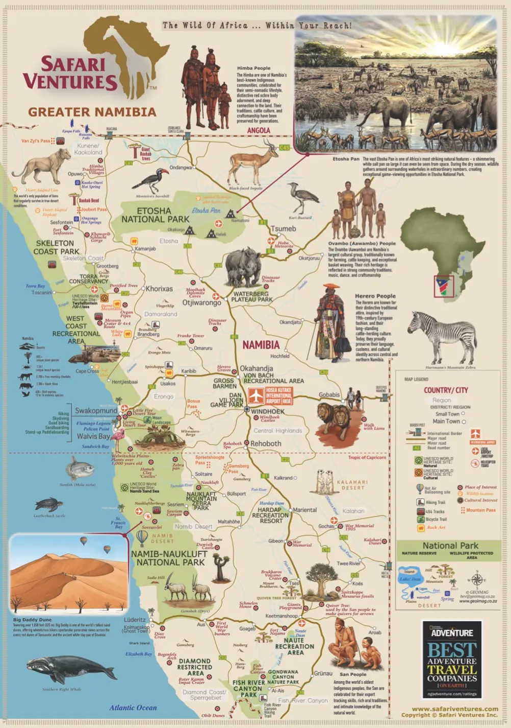
Namibia Safari Map
Explore Sossusvlei, Swakopmund, the Skeleton Coast, Damaraland, Etosha and Namibia's remote northeastern parks. The map identifies major towns, airstrips and safari routes through the country's dramatic desert and wildlife regions.
https://www.safariventures.com/wp-content/uploads/Namibia.png